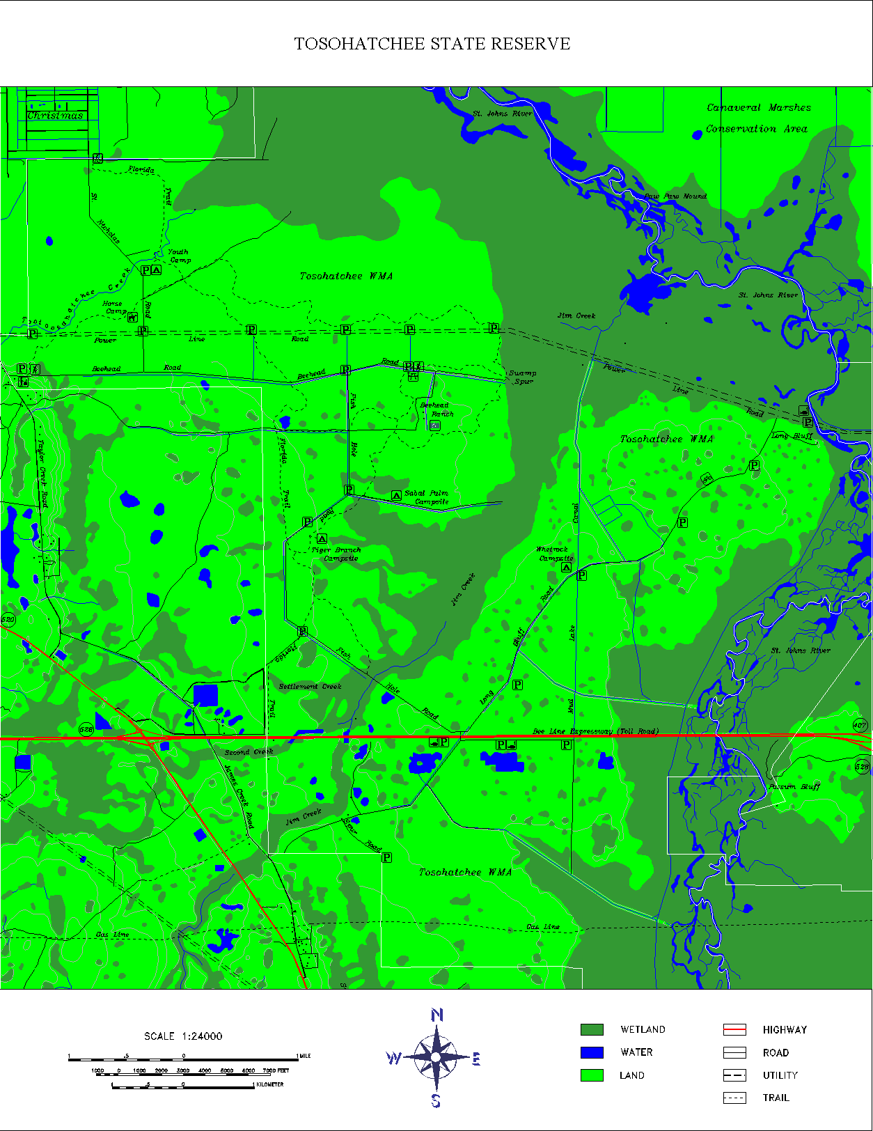
A DLG (Digital Line Graph) is a digital vector cartographic feature that comes from the USGS. This is a map of the Tosohatchee Wildlife Management Area with the USGS DLG data incorporated into it. The DLG data mapped includes streams, rivers, lakes, wetlands, roads, railroads, power lines, buildings and other geographic and man-made features.
No comments:
Post a Comment